|
 GARtrip GARtrip
 use
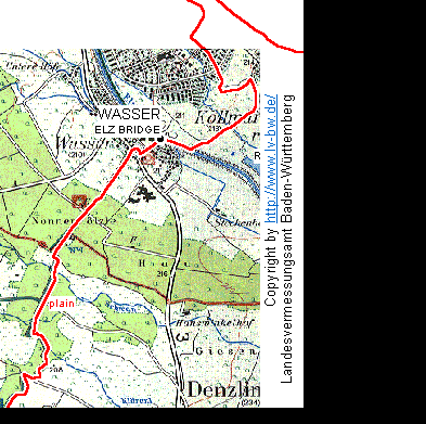
your scanned maps or OSM maps as a background to the graphic chart use
your scanned maps or OSM maps as a background to the graphic chart
You may review your waypoints, routes, and track on the base of a
scanned map or OSM map, and you may manage your data graphically.
Example: click on the map and create a new waypoint at this
position.
next feature: select
among several coordinates formats, with suitable geodetic datum
back home
|