|
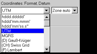
For zoned coordinate systems like UTM, in special cases you may force a special zone to be used even if this zone is exceeded.
You can add any number of user grids to this list. Many user grids can be taken from a prepared collection. next feature: select your preferred unit for distance, speed, and
altitude |
 GARtrip